Community Corner
Tornado Watch, Wind Advisory in Effect for Moorestown
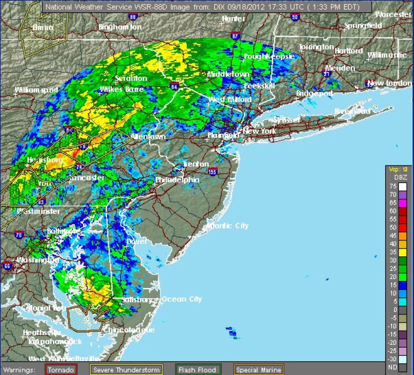
Thunderstorms and gusts as high as 40 miles per hour are expected later this afternoon.

Heavy winds and showers have already started in some parts of our area, but Moorestown can expect much nastier weather later this afternoon.
According to a meteorologist with the National Weather Service (NWS) in Mount Holly, Moorestown, along with the entire state, are under a tornado watch, as well as thunderstorms and potentially damaging winds.
“I don’t know if it can get any worse,” said Anthony Gigi, meteorologist. “It’s not going to snow.”
Find out what's happening in Moorestownwith free, real-time updates from Patch.
Showers and thunderstorms are expected to start after 3 p.m. and could produce gusty winds and heavy rain. The high temperature will be near 80.
Winds could hit 20 mph, with gusts as high as 40 mph. Precipitation could be up to a half-inch.
Find out what's happening in Moorestownwith free, real-time updates from Patch.
A wind advisory remains in effect until midnight. According to officials with the NWS, strong winds may bring down tree limbs and utility lines.
Towns in northwestern Burlington County are under a coastal flood advisory until 6 p.m.
According to Gigi, the worst of the storm should be finished by this evening.
Wednesday is expected to be 74 and sunny.
Click here for a list of tips to keep handy in case of a power outage.
Get more local news delivered straight to your inbox. Sign up for free Patch newsletters and alerts.